Event: THE EDGE "BILLIONAIRES' DINNER" 2007
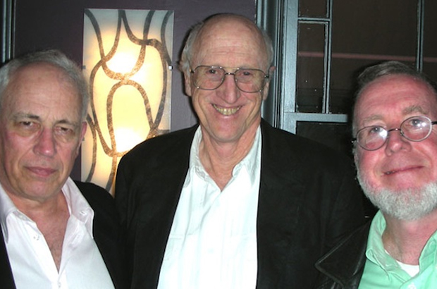
John Brockman, Edge; Stewart Brand, Long Now Foundation; Kevin Kelly
:

Hubert Burda, investor Jeffrey Epstein
Event: ASK A SCIFOO QUESTION?
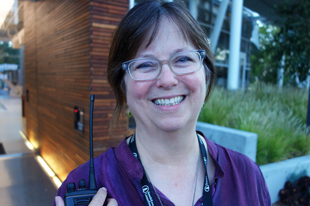
Cat Allman, Open Source Team, Google, Inc.
Event: THE EDGE "BILLIONAIRES' DINNER" 2008
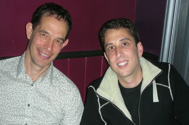
Neil Turok, Physicist, Cambridge; Marc Hodosh, Genomics X Prize
Event: Edge-Serpentine Gallery-MAPS FOR THE 21ST CENTURY

Conversation: TESTOSTERONE ON MY MIND AND IN MY BRAIN
David Rowan, Editor, Wired.UK
Event: Edge Master Class 2010: W. DANIEL HILLIS ON "CANCERING"